Army Side - Station Area
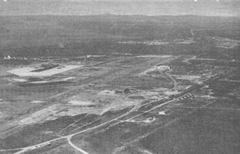
Aerial View of the Army Side.
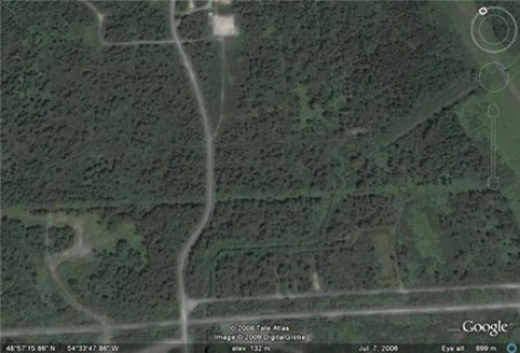
Google Map of Army Side
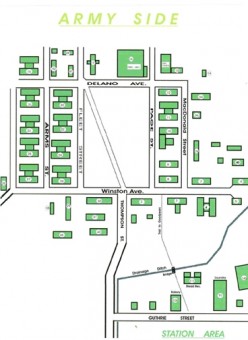
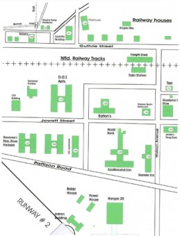
Map of Army Side
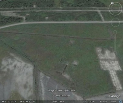
Google Map of Train Station Area
Another Map of Train Station Area.
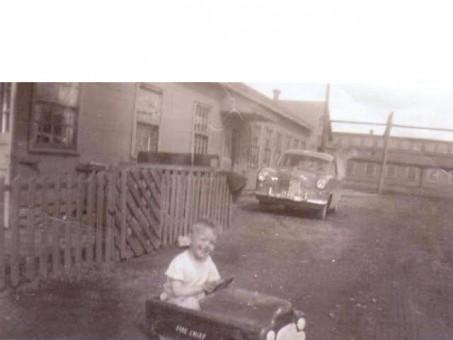
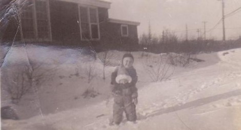
Rick in his peddle-car. This is the Stead/ Young residence next to the laundry and across form the bakery.
Victor Stead worked at the laundry from 1951-1957, Mr. Simmons
owned the business.
View from our front yard towards the bakery to the right you can see Goodyears in the background.
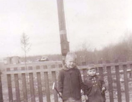
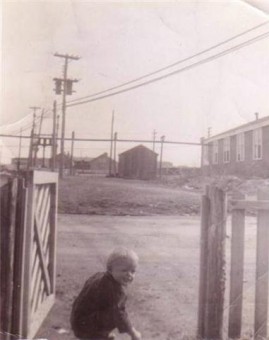
You can see the bridge that crossed over the brook thru the fence.
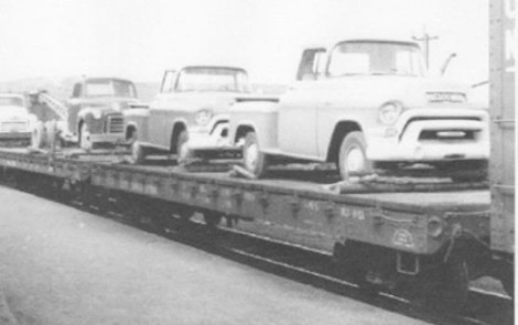
The "Train Ferry" carried vehicles to the Clarenville station before the highway was built.
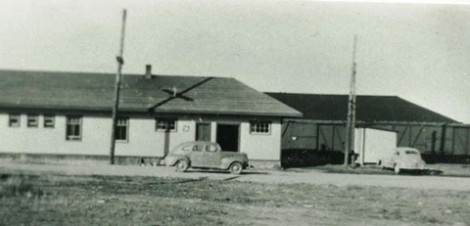
View of train station from Pattison Road in the 1940's.
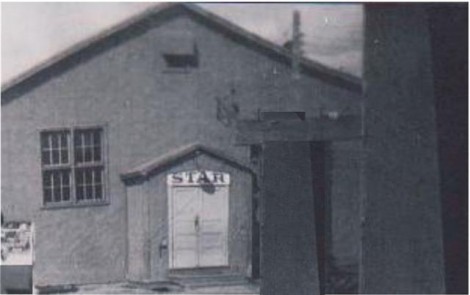
The Star Theater was located on the Army Side and it cost 10 cents for a Saturday matinee.
This photo was taken with the bakery in the background and we are walking on the trail to Goodyears.
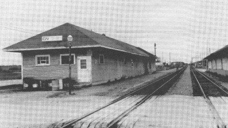
The Gander train station was located on milepost 213, measured distance from St. John's.
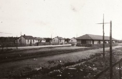
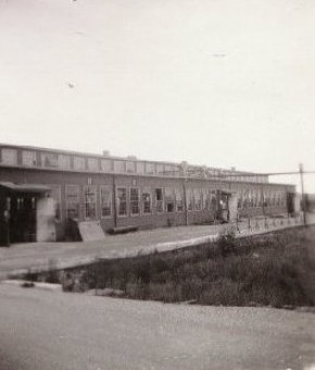
This is the CN freight shed with the yellow railway homes in the background.